Aerial Atlas of Ancient Britain - SIGNED COPY


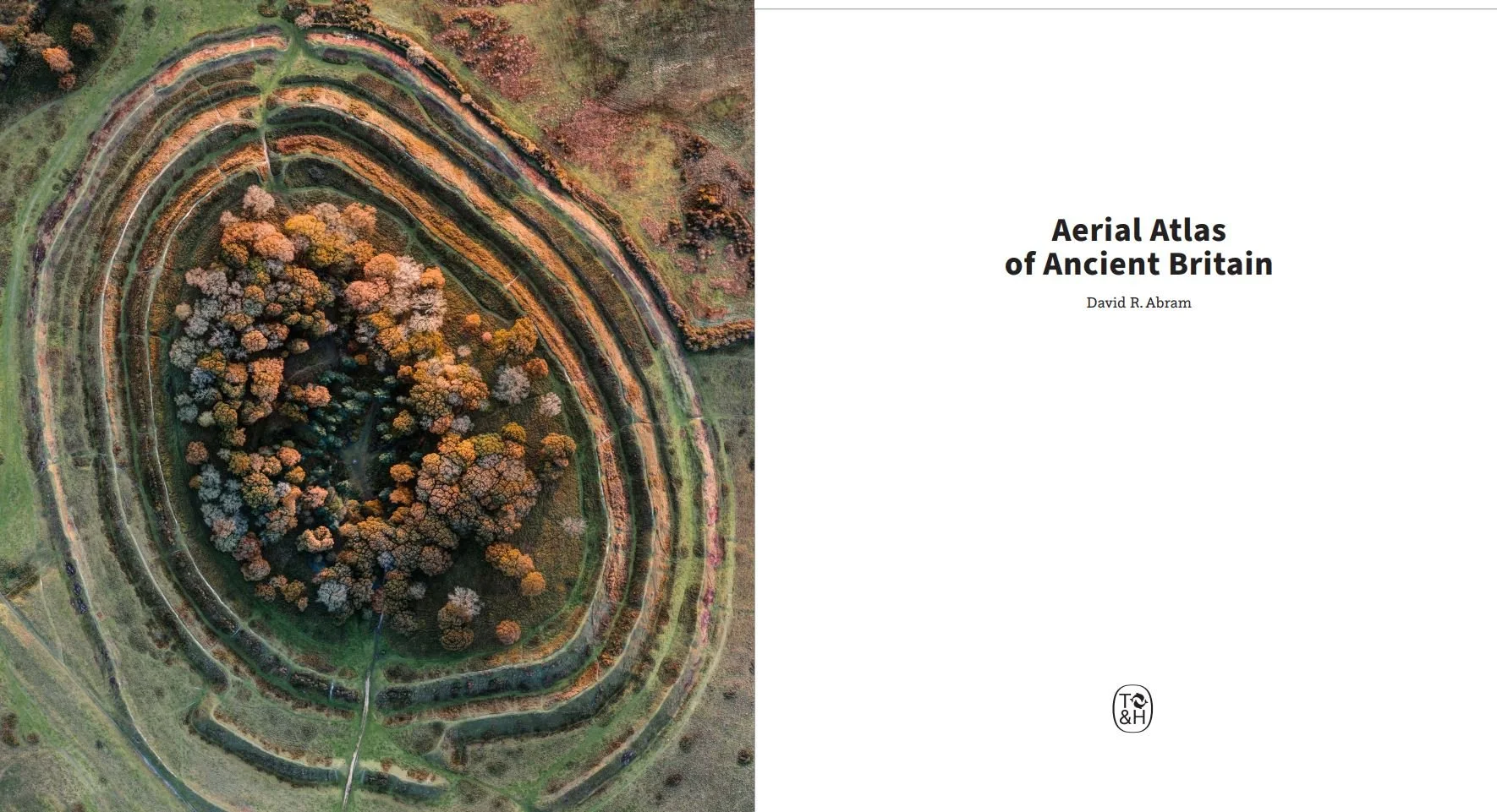


Aerial Atlas of Ancient Britain - SIGNED COPY
This collection of images reveals prehistoric sites
from around the British Isles as they have never been seen before:
Neolithic enclosures, tombs and stone circles; Bronze Age cairns,
field systems and burial mounds; and Iron Age farmsteads and
hillforts, captured from the air.
Photographs taken above the monuments at dawn or sunset
allow uniquely evocative views, showing not only how the sites
fit into their surrounding landscapes, but also how they define
or respond to the area’s natural character.
Arranged in roughly chronological order, the photographs are accompanied by explanatory
text, with longer introductions illuminating the wider archaeological
contexts of each era, from the Palaeolithic to the arrival of the Romans
in AD 43.
With 227 colour photographs
PLEASE SELECT ‘BOOK POST - SINGLE’ AT CHECKOUT IF YOU ARE ONLY PURCHASING ONE COPY.
FOR TWO OR MORE, PLEASE SELECT ‘BOOK POST - TWO OR MORE’
Unfortunately, due to high international postal charges I am unable to ship outside the UK. If you’re in the EU, US, Canada, Aus or NZ please purchase my book through an independent retailer rather than one of the online giants.